Rain and cooler temperatures have helped subdue the spread of a massive wildfire that consumed homes in the heart of Jasper National Park.
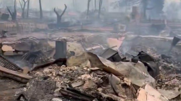
The fire, described as a monster for its size and intensity, levelled entire neighbourhoods in the Jasper townsite when it roared into the community Wednesday evening.
As details on the scale of the damage begin to emerge, emergency officials are promising to take advantage of a reprieve from the volatile weather conditions that fuelled the flames.
Alberta government officials said Thursday that preliminary estimates suggest 30 to 50 per cent of the town’s structures may have burned.
Officials from Parks Canada, the lead agency on the fire, confirmed many buildings were lost, but declined to comment on the full extent of the damage.
Fire behaviour is expected to calm, at least temporarily, due to wet weather expected in the mountain park this weekend.
A video posted on social media walking the path north past the playground between Cabin Creek Drive and Patricia Street in Jasper, Alta.
Credit: Jeffrey Heyden-Kaye / X
The battle against the fire is being managed from a command centre in Hinton, which became the centre of operations after many first responders evacuated Jasper late Wednesday due to dangerously poor air quality on the front line.
On Friday morning, Alberta Premier Danielle Smith and federal Minister of Emergency Preparedness Harjit Sajjan will tour the command centre and speak with reporters.
The fire, which spread into the community from the south, continues to burn out of control and has since merged with a wildfire burning to the north into a single blaze.
The Jasper Wildfire Complex now includes the combined north and south wildfires and the Utopia wildfire near Miette Hot Springs that started July 19.
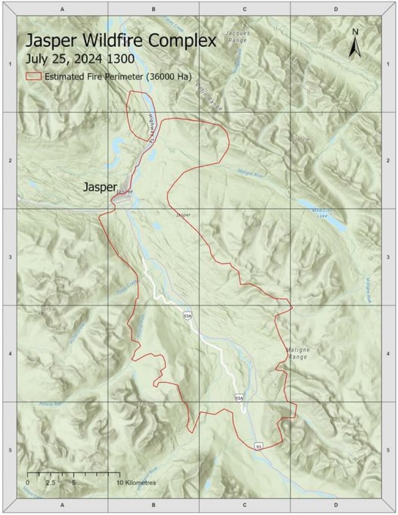
In all, the flames have burned an estimated 36,000 hectares but mapping the perimeter remains a challenge due to strong winds, extreme fire behaviour, heavy cloud and smoke.
Aircraft have not been able to fly safely and satellite imaging has been obscured by thick cloud cover.

Officials with Jasper National Park, the agency leading the fire-fight, say…
Click Here to Read the Full Original Article at CBC | Top Stories News…

